Trail Navigation 101: Reading a Topo Map and Using a Compass
I relied entirely on my phone for navigation for longer than I’d like to admit, right up until a dead battery on a longer hike forced me to actually learn what all those lines on a topographic map meant. It wasn’t as complicated as I’d built it up to be in my head, but it did take some deliberate practice, the kind that’s much better done at home on a low-stakes afternoon than for the first time when you’re actually depending on it.
This is a real introduction to the basics, not a comprehensive navigation course, but it should be enough to get you started reading a topo map and using a compass with some actual confidence, rather than just carrying them because you know you’re supposed to.
Why This Still Matters With GPS Everywhere
It’s a fair question, given how reliable phone GPS has become. But batteries die, phones break, and signal disappears in a lot of the terrain where you’d most want reliable navigation, deep valleys, dense tree cover, remote areas far from any cell tower. I covered this pattern in more detail in my piece on reading nature’s warning signs, but losing your primary navigation tool is exactly the kind of situation where a backup skill, not just backup gear, actually matters.
A paper map and compass don’t need batteries and don’t lose signal, which makes them a genuinely different kind of backup than a second phone or a portable charger. Knowing how to actually use them is what makes that backup real rather than theoretical.
Reading Contour Lines
The core skill in reading a topographic map is understanding contour lines, the wavy lines that represent elevation. Each line represents a specific elevation, and lines close together indicate steep terrain, while lines spread further apart indicate a gentler slope. Once this clicks, a topo map stops looking like abstract squiggles and starts looking like an actual 3D landscape flattened onto paper.
Practice reading contour lines against terrain you can actually see, either on a local trail you know well or even just looking at a map of your own neighborhood if it has any real elevation change. Spotting a steep hill on the map and then confirming it against the real, visible hill is how this skill actually sinks in, more than reading about it ever will.
Understanding Map Symbols and Legend
Topo maps use a fairly standardized set of symbols for trails, water sources, campsites, and other features, and taking ten minutes to actually study a map’s legend before a trip pays off constantly once you’re out there trying to make quick decisions. Different mapmakers sometimes use slightly different symbol sets, so it’s worth double-checking the legend for whatever specific map you’re using rather than assuming it matches one you’ve used before.
This is a small step that’s easy to skip in the excitement of planning a trip, but it removes a lot of confusion in the field, especially for a water source or junction that would otherwise be easy to misread. This ties directly into the kind of careful trip prep I talked about avoiding skipping in my rundown of common hiking mistakes first-timers make, where rushing past the small planning steps tends to cause the bigger problems later on.
Using a Compass: The Basics
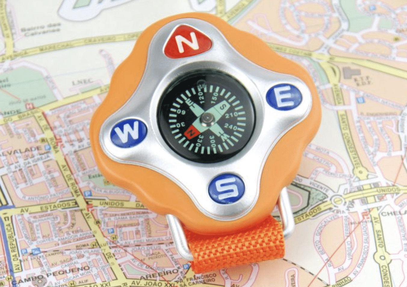
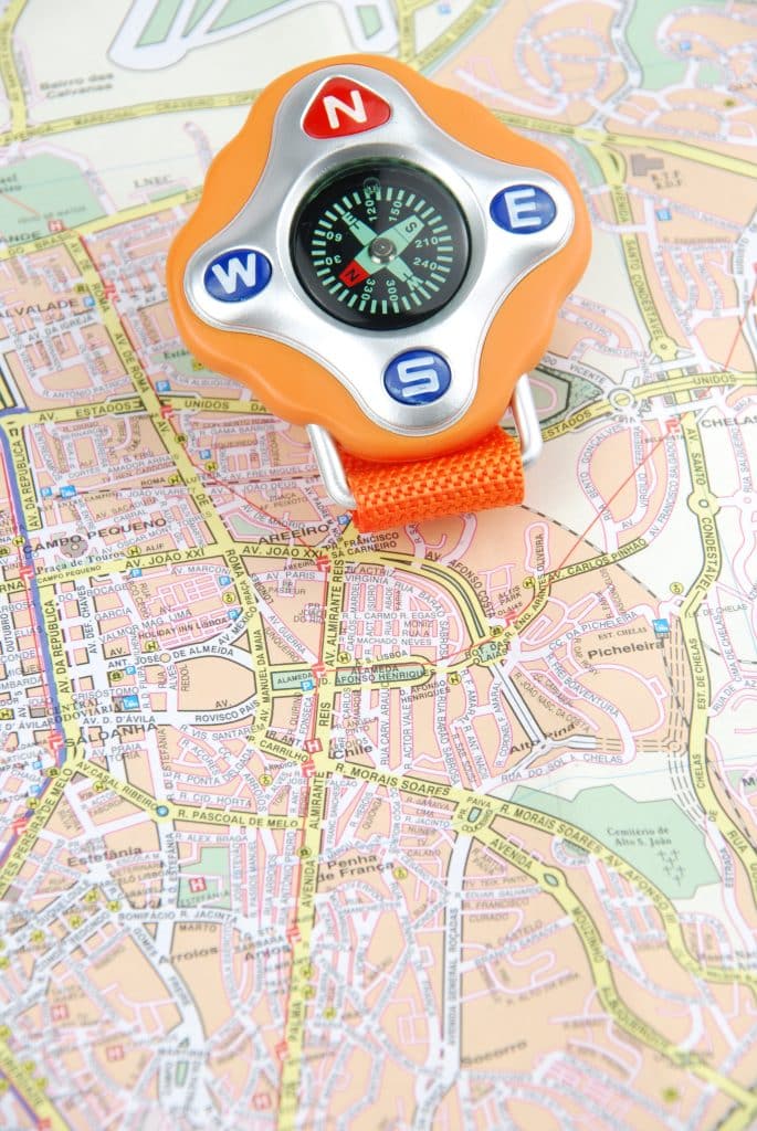
A compass has a few core parts worth knowing: the baseplate, the rotating bezel with degree markings, and the magnetic needle that points toward magnetic north. The most basic use is orienting yourself, holding the compass flat and turning your whole body until the needle aligns with the “N” marking, which tells you which direction is actually north relative to where you’re standing.
Beyond basic orientation, a compass lets you take a bearing, a specific direction of travel measured in degrees, which becomes useful for navigating toward a specific point even without a clear trail or visible landmark. This is a skill worth practicing on a known trail before you’d ever need to rely on it somewhere unfamiliar.
Accounting for Magnetic Declination
This is the detail that trips up a lot of people learning to navigate, magnetic declination is the difference between magnetic north, which your compass needle points to, and true north, which most maps are oriented to. This difference varies by location and changes slowly over time, and ignoring it can lead to a real navigation error over any meaningful distance.
Most topographic maps print the local declination directly on the map itself, and adjusting for it just means rotating your bearing by that specific number of degrees before using it. This sounds more complicated described in a sentence than it actually is in practice, and it’s worth practicing a couple of times with a known reference point until it feels automatic.
Combining a Map and Compass in Practice
The real skill isn’t using a map or a compass in isolation, it’s using them together to actually confirm your location and plan a route. Identifying a visible landmark, finding it on the map, and taking a bearing toward your next waypoint is the core loop of traditional navigation, and it becomes faster and more intuitive with practice.
I’d suggest practicing this on a trail you already know well before ever relying on it somewhere new, so you’re building the skill against a backdrop where you can easily verify whether you got it right. This is similar in spirit to the kind of practiced familiarity I recommend for any piece of survival gear in my post on what actually belongs in a survival kit, since owning the tool means far less than actually knowing how to use it under real conditions.
A Simple Practice Plan
If you’re starting from scratch, I’d suggest a progression rather than trying to learn everything on a single trip. Start by practicing contour line reading against a familiar local landscape, then move to basic compass orientation on a short, well-marked trail, and finally practice taking and following a bearing somewhere you already know the correct route so you can check your own accuracy.
This kind of low-stakes practice, done a few times before you actually need the skill, builds real confidence rather than the shakier kind that comes from reading about navigation without ever practicing it. It’s also just genuinely satisfying once it clicks, there’s a real sense of competence that comes from being able to navigate confidently without depending entirely on a screen.
Final Thoughts
None of this replaces carrying a working phone with offline maps loaded, which remains one of the more practical, accessible navigation tools available for most trips. But building actual map and compass skill alongside that primary tool means a dead battery or lost signal becomes an inconvenience rather than a genuine problem, and that difference matters more the further you get from easy help.
Start small, practice somewhere familiar, and treat this as a skill you’re building over several trips rather than something to master in a single weekend. The payoff is a kind of quiet confidence out on the trail that’s hard to get any other way, and it’s one of the more useful skills I’ve picked up in years of doing this.